
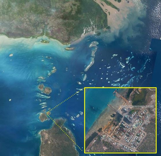
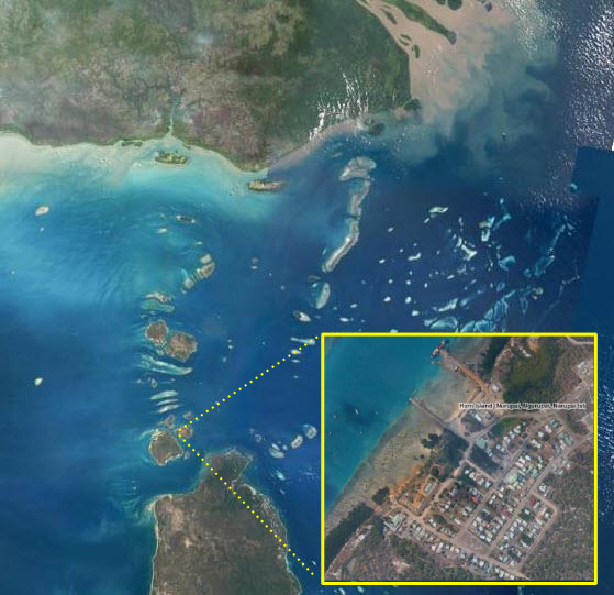
Torres Strait Imagery
Photographers: Eric Lawrey
Description
This map shows Torres Strait from space. It combines satellite imagery (Landsat 5) for the region and aerial imagery (Queensland Government) for most community areas. It is a preview of an interactive map that allows you to zoom in to areas of interest.