
About the Torres Strait eAtlas
Discover, learn, investigate and download environmental research and reference data for Torres Strait.
Over the past 30 or so years, a huge amount of research has been done in Torres Strait. This has resulted in lots of reports, scientific publications, and data sets.
The Torres Strait eAtlas integrates these raw materials to make the knowledge they contain available to everybody.
The Torres Strait eAtlas can continue to be built on by adding new information and results from future research.
The eAtlas is free and available to anybody with an internet connection.
You can use the eAtlas to:
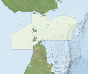
- Make knowledge-rich maps using a huge selection of base maps and information overlays.
- Find plain-English summary articles, as well as scientific reports and papers.
- Find out about research that's been done in the past and how to get more details or even the data.
The Torres Strait eAtlas is a regional tailoring of the main eAtlas to reduce the clutter of content outside the Torres Strait region.
The Torres Strait eAtlas is developed and hosted by the Australian Institute of Marine Science (AIMS) with a close partnership with the Torres Strait Regional Authority (TSRA).
The Torres Strait eAtlas is funding from the Australian Government's National Environmental Research Program Tropical Ecosystems hub (NERP TE) and in-kind co-invested by the Australian Institute of Marine Science (AIMS) and the Commonwealth Scientific and Industrial Research Organisation (CSIRO).