
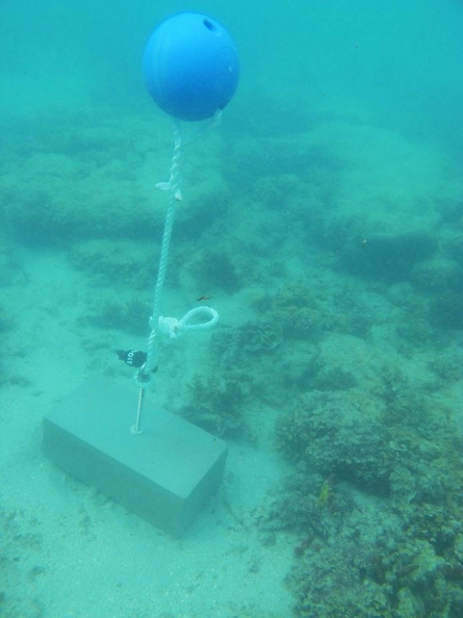
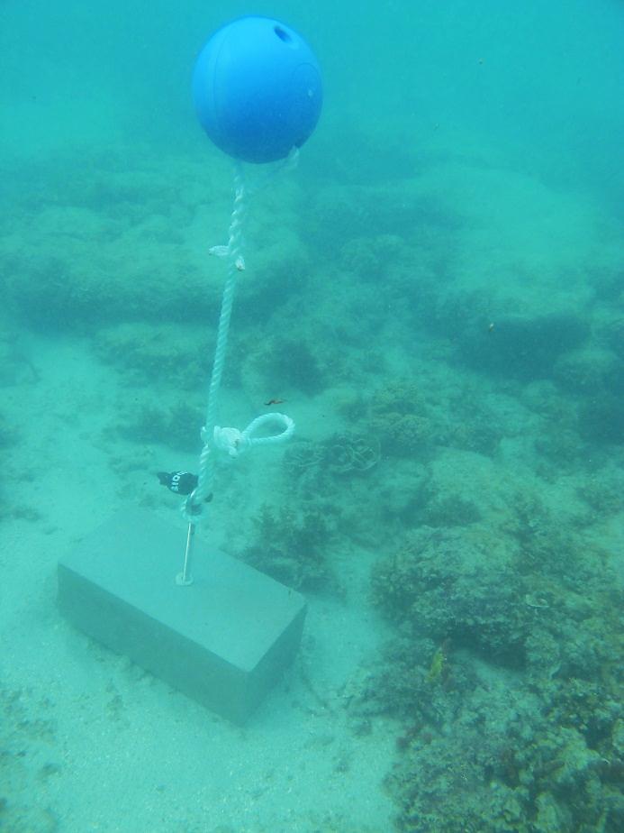
Twin Island - Torres Strait Temperature Logger (Flat Logger: TWINFL1)
Description
This photo shows the location of the temperature logger at Twin Island started on 03/10/2012.
10°27.775’S 142°26.149E on WGS84 datum Depth: 1.8 m at mean tide, approx. at LAT Logger located on a masonry block next to the first remnants of lice coral, approx. 40m off the beach.
Image produced for the project