
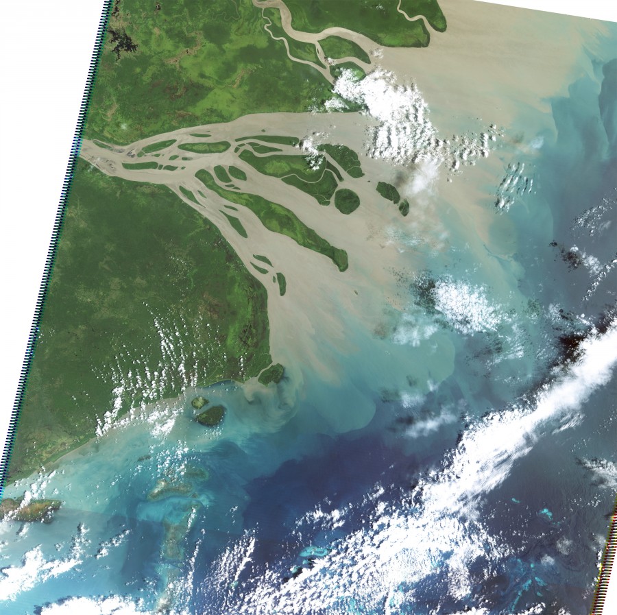
Flood Plume from Fly River (Landsat 5)
Photographers: Eric Lawrey, NASA
Description
This satellite image (Landsat 5) shows a fairly typical flood plume from the Fly River in PNG on 11th Feb 2009. The plume mostly extends northward away from the Torres Strait, however a percentage hugs the PNG coastline reaching Saibai Island.